

Orient
See the island as one living field.
Hikes and dives share the same Oʻahu view, with nearby context attached to place.
Open Today Map ↗21.4777° N157.9703° WField-tested on Oʻahu
See the terrain. Check the route. Read the day. Follow the reef. Keep what happened—without assembling the answer from scattered tabs.
54 Oʻahu locations in this build: 38 hikes + 16 dives. Conditions shown below are a recorded interface fixture, not a live report.
Most outdoor tools stop at discovery
You can find the name. Then the real work starts: route shape, access friction, weather, surf, daylight, the evidence you trust, and the field note you want afterward.
Five views of the same decision

A recorded interface fixture
This receipt demonstrates how Pali Fieldbook groups context. It is deliberately labeled and must not be read as a current weather or trail-status report.
Check Pali Fieldbook for the current viewExample values retained from the supplied V7 interface capture. Verify live conditions, access, tides, and official closures before going.
The working Fieldbook, without private records.
Orient
Hikes and dives share the same Oʻahu view, with nearby context attached to place.
Open Today Map ↗Study
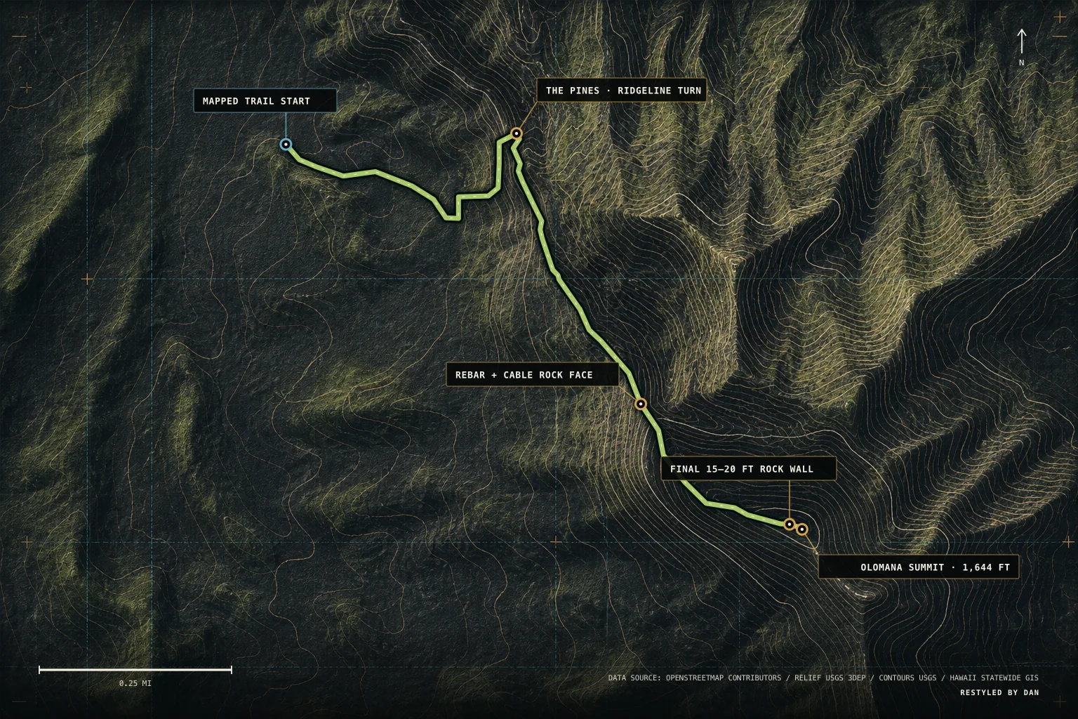
Overview, conditions, access, route, and field notes stay connected to the same place.
Open Trail Studio ↗Inspect
Evidence remains labeled by scope, freshness, and review state; held media does not enter the public package.
Read the evidence policy ↗Choose
Saved adventures remain actionable instead of becoming a disconnected wish list.
Open Bucket List ↗Remember
Dated entries preserve what happened and make the next decision better.
Open Logbook ↗One island record
Weather moves over the Koʻolau. Water gathers below. Swell reshapes the coast. A useful island guide keeps the relationships visible without pretending every frame proves the same thing.
Named place is labeled as place. Regional material is labeled as context. Uncertainty stays visible.
A field system, not another list
Capabilities below describe the supplied local V7 build and are framed structurally—not as a claim that every outside service lacks every feature.
| Decision layer | Typical discovery flow | Pali Fieldbook |
|---|---|---|
| Place | Search result or pin | Island-wide hike + dive map |
| Route | Separate track or notes | Route, terrain, access, and detail together |
| Day | Weather in another tab | Conditions beside location context |
| Evidence | Mixed media and confidence | Named, regional, and review status visible |
| After | Saved item or camera roll | Bucket list + dated field log |
Begin free. Add the field window you need.
Create one private account for saved places and field records. Premium access starts only after a verified Polar merchant event; a checkout return alone never unlocks the Field Desk.
$0
Public map, account tools, Saved Places, Bucket, and Logbook. Premium Field Desk evidence remains locked.
Create a free account ↗$9.99 one time
Activate within 365 days, then use exactly 240 consecutive hours of premium access.
Choose the 10-day pass ↗$12.99 / month
Premium Field Desk access that renews monthly until canceled.
Choose monthly ↗$39.99 / year
A full year of premium Field Desk access, renewing annually until canceled.
Choose annual ↗Prices are USD. Polar is the merchant of record and displays taxes and final checkout terms. Subscription cancellation stops the next renewal; paid access normally continues through the current period.
The island is already moving
Choose the place. Read the day. Leave room for what the island changes.
Open Pali Fieldbook